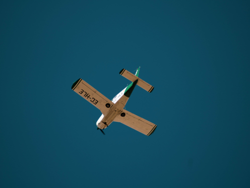
An Aeronautical Impact Assessment prepared by Chiron Aviation Consultants examines the risk to aviation activities posed by the proposed wind farm and makes recommendations in relation to operations in and around the project. The assessment includes an Aviation Impact Statement (AIS) completed in accordance with the requirements of Air Services Australia, a qualitative risk assessment (QRA) and an obstacle lighting review.
An AIS requires:
Two registered aerodromes with Instrument Approach Procedures (IAP) or designated Obstacle Limitations Surfaces (OLS) exist within 30 nautical miles(nm) of the proposed wind farm site boundary. The Latrobe Valley registered aerodrome and the Yarram registered aerodrome.
Although they are located further than 30 nautical miles (nm) of the project both the West Sale registered aerodrome and East Sale military aerodrome are also included in the assessment due to their significance.


The AIS concluded that there would be no adverse impact on:
The QRA found that risk of the wind farm to aviation is low covering evaluation of the risks outlined below.
Night flying: Night operations at the Latrobe Valley Aerodrome will not be impacted provided the amendments to the instrument approach recommended by the AIS are adopted. Night operations at Yarram Aerodrome will not be impacted.
General aviation flying training: Given the visibility of wind turbines, including their size and colour, they are not considered to be an issue for students and visual flight rules during the day. Given night flying is undertaken above the Lowest Safe Altitude the wind farm will not impact night flying training. Furthermore, the Assessment confirms that whilst a flying training organisation based at Latrobe Valley Aerodrome does sometime utilise the area for training, in times of marginal visual meteorological conditions they would not approach over the hills where the wind farm is located.
Recreational and sport aviation: These types of aircraft, including ultralight aircraft, are limited to daytime flights which require the aircraft to remain clear of clouds and minimum of 500 feet above the highest obstacle in the ground. The risk to these aircraft is therefore low.
Aerial applications activity: There are some aerial applications activity in the general area that is dependent on seasons (crops and pests), however there is minimal activity in the immediate area of the wind farm facility. Aerial application operators find the meteorological masts to be particularly challenging. The marking of the meteorological masts on the site is discussed further below.
Emergency services flying: The risk to emergency services flying is low. Police Air Wing helicopters and Helicopter Emergency Medical Services are capable of instrument flight rules flying (which occurs at low levels and/or with limited visibility) and pilots in command have the final say as to whether operations need to be aborted due to the risk to the aircraft or crew. In the case of Fixed Wing Ambulances, flights are typically for patient transfer from regional to major city hospital and that wind farm will not affect operations due to the nature of the operations and the aircraft size.
Fire fighting: Firefighting is a multi-faceted operation utilising multiple resources and equipment appropriate to circumstances and aerial firefighting is just one resource that is available that may or may not be appropriate to the fire ground situation. Aerial firefighting is conducted at low levels and based on experience with rural firefighting in multiple states, the various agencies all typically consider wind farms to be ‘just another hazard’ that have to be considered in the risk management process associated with aerial firefighting. Aerial firefighting will take place in combination with ground-based firefighting, which has been comprehensively discussed in the Bushfire Risk Assessment.
Weather and topographical issues: The Latrobe Valley is known for having morning fog, low cloud and reduced visibility during the Winter. However, flying into marginal or non-visual meteorological conditions is avoidable and is something that local operators are aware of.
Lighting of turbines: The lighting of turbines is not required as pilots flying using Instrument Flight Rules either cannot see the lights in some circumstances or if they can be seen the lights can be distracting due to them appearing to ‘flare’.
Meteorological monitoring masts: are very difficult to see due to their slender construction and thin guy wires. The masts are often a grey (galvanised steel) colour that readily blends with the background. Based on the feedback provided by stakeholder consultation and the requirements of the NASF Guidelines, recommendations are that future meteorological monitoring masts proposed as part of this application should be:
The obstacle lighting risk assessment concludes that the wind farm facility does not require obstacle lighting as the risk to aviation is low and no additional mitigating strategies are required.

The AIA found that the Project will impact on the Latrobe Valley Aerodrome PAN-OPS surface for Runway (RWY) 03, identifying that amendments will be required to the instrument approach procedure and the missed approach decision height for this aerodrome. Implementing the recommended changes to the RWY03 approach procedure will ensure the wind farm does not penetrate any associated PANS-OPS surfaces. On this basis, the proposal will be assessed as a low risk to aviation and is therefore not a hazard to aircraft safety.
The Aeronautical Impact Assessment recommends that further consultation be undertaken with the Latrobe Valley Aerodrome operator to implement the proposed amendments to approach procedures. As the wind turbines and meteorological monitoring masts are considered to be tall structures, reporting to the Vertical Obstacle Database, managed by Airservices Australia must also be undertaken, as required by Advisory Circular AC 139-08 V2.0. Consideration should be given to ensuring a NOTAM that provides the height and location of the structures is issued.

Stay informed on the latest project updates and Community Benefits opportunities by subscribing to our e-Newsletter.

The Delburn Wind Farm is a joint venture project between OSMI Australia and Cubico Sustainable Investments.
Delburn Wind Farm acknowledges the Traditional Owners and ongoing Custodians of the lands in which we operate. We pay our respects to Elders past, present and emerging.

The Delburn Wind Farm is a joint venture project between OSMI Australia and Cubico Sustainable Investments.
Delburn Wind Farm acknowledges the Traditional Owners and ongoing Custodians of the lands in which we operate. We pay our respects to Elders past, present and emerging.