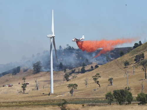
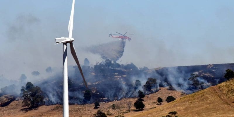
A Bushfire Risk Assessment prepared by Fire Risk Consultants discusses the potential bushfire risks associated with the Delburn Wind Farm Project and outlines the recommended management measures to mitigate potential risks.
The approach to completing the Bushfire Risk Assessment included:
A Bushfire Risk Assessment prepared by Fire Risk Consultants discusses the potential bushfire risks associated with the Delburn Wind Farm Project and outlines the recommended management measures to mitigate potential risks.

The relevant legislation and government policies for fire management that are relevant to fire risk include:
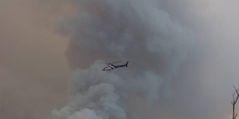
The project is located within a high-risk bushfire landscape, as it is sited within pine and blue gum plantations at various stages of maturity interspersed with patches of native vegetation. There have been a number of bushfires within the surrounding area in 1898, in the 1920s and 1944, and most recently in 2009, prior to Black Saturday which directly impacted the project area and surrounding communities.
Site conditions as they relate to the level of fire risk include:
Access and egress: The road network throughout the HVP plantation is considered to provide effective access to most areas of the plantation, with more than one option available in most locations.
Topography: The project site is located along a ridge line of the Strzelecki Ranges. All proposed turbine locations are considered to be accessible and have been sited to enable construction and operational access. The construction vehicles would require more space than firefighting vehicles, therefore the road network is considered suitable for firefighting access and egress.
Vegetation: The project site currently comprises blue-gum and pine plantations with native vegetation dominating gullies and other locations throughout the plantation. It is understood that HVP is in the process of transitioning away from blue gum to 100% pine plantation, which reduces fire spotting risk. Blue gums have a greater spotting potential (up to 30 kilometres on code red days) than pine plantations (1 kilometre).
Surrounding land use: In many areas of Victoria the highest fire risk typically comes from the north-west or south-west. The land to the west of the wind farm site is largely used for intensively irrigated agriculture, so it remains largely non-flammable even during dry years, providing a large buffer to possible external fire threats in that direction. Ignitions likely to the threaten the plantation are more likely to come from within the plantation or immediately adjacent areas such as Mirboo North, Coalville, Hernes Oak and Darlimurla.
Firefighting capabilities: Numerous CFA and FRV fire brigades are located throughout the Latrobe Valley and the HVP Gippsland Plantations Forest Industry Brigade also comprises over 100 employees and contractors, enabling a quick response to reports of bushfires within the Latrobe Valley.
The risk assessment evaluates the project against the CFA Guidelines and confirms that the elements of the Guidelines for the development of utility installations, emergency management, site infrastructure, site operations, and the additional conditions specific for wind energy facilities and battery installations, have all been incorporated into the project design. There is one element of the CFA Guidelines that is not included in the project design which is the inclusion of a perimeter road around the entire site. The extensive network of public roads and fire tracks in and around the plantation as well as widened tracks between and surrounding the turbines and other infrastructure affords a high level of accessibility for firefighting vehicles and provides compliance with this criterion without explicitly building it into the project design. Perimeter access will be provided around each of the Operations and Maintenance Facility, Visitors Areas and Terminal Station.
The bushfire risk assessment also presents the results of bushfire modelling completed to assess fire risk before and after fire risk reduction works (such as fuel management activities) proposed by the project. The modelling uses Phoenix Rapidfire, to assess the potential bushfire impact of the proposal assuming the same weather conditions as existed during the 2009 bushfires to provide a frame of reference familiar to the community. Phoenix Rapidfire is used by the State of Victoria to model fire scenarios before and after fire risk reduction works i.e. fuel management activities, to calculate and understand fire risk.
The bushfire risk assessment concludes that at lower fire danger indices, the presence of the Project may reduce bushfire spread through the plantations due to an enhanced fuel management and road network that will assist in a suppression response. At elevated fire danger conditions, minimal change is experienced.

The risk assessment recommends a series of bush fire risk mitigation measures that will need to be implemented during the construction and operations phases of the project, including (but not limited to) the following:

The Bushfire Risk Assessment concluded that the proposed Delburn Wind Farm and associated battery installation and terminal station will not increase bushfire risk in the landscape if the recommendations during the development, construction and operation phases outlined above are implemented.

Stay informed on the latest project updates and Community Benefits opportunities by subscribing to our e-Newsletter.